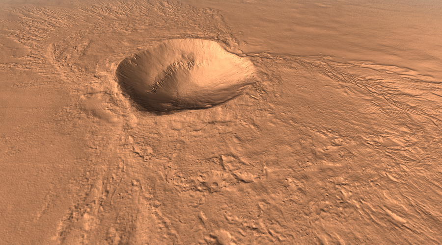
HiRISE
Real-time 3D renderings of HiRISE Digital Terrain Models (DTMs). Implemented using pg, an OpenGL library for Python that I developed.
Discussion
The digital terrain models can be found here:
The models are in PDS format. GDAL is used to parse these files. A pre-processing step is required to generate a 3D triangle mesh and a normal texture. The normal texture improves the appearance of the rendering without requiring a highly detailed mesh.


